


CUAV NEO 3 vs C-RTK: GNSS, RTK and Heading Explained

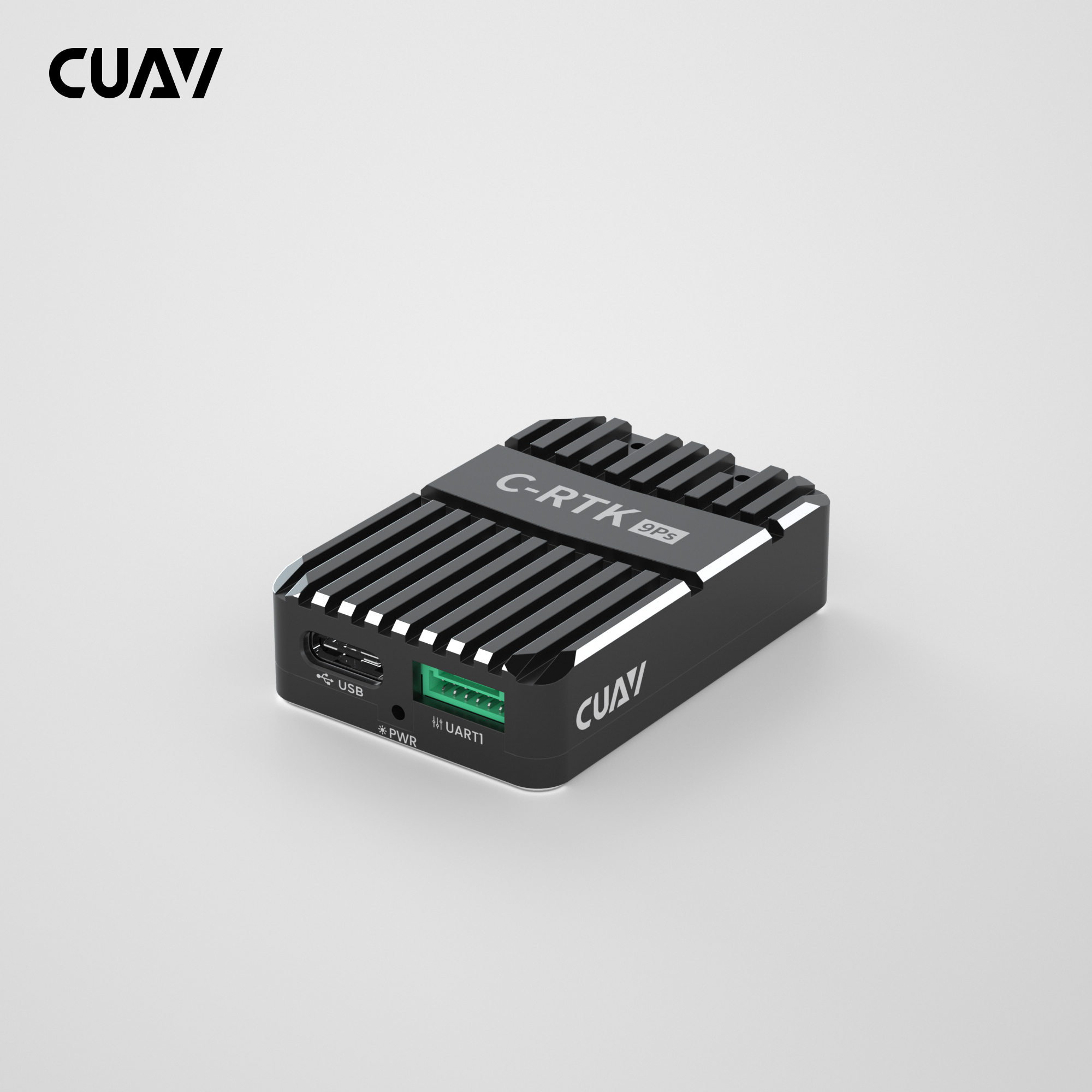
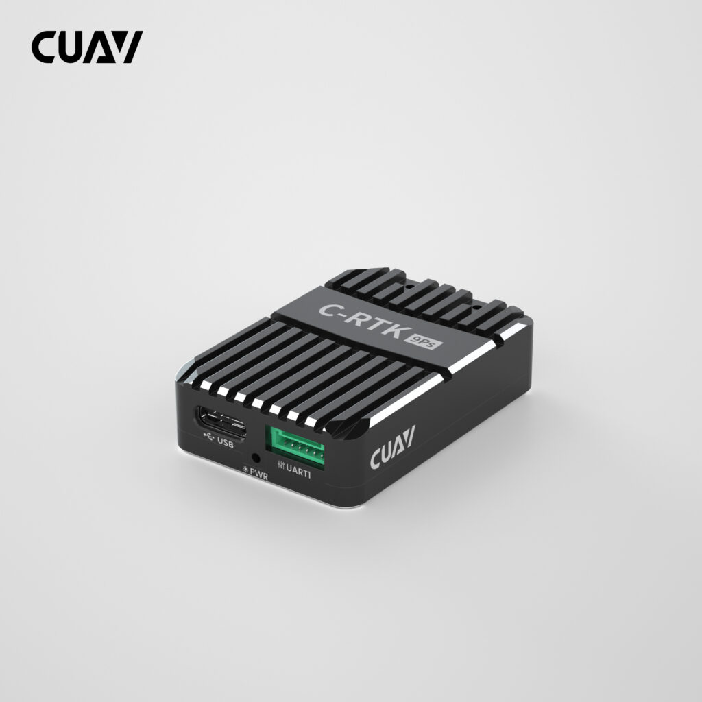
GNSS modules do more than provide a dot on a map. The correct choice affects navigation accuracy, heading behaviour, resistance to electrical noise and the way correction data reaches the aircraft. Orkes groups the available options under CUAV GNSS, GPS & RTK.
Match the positioning method to the mission
| Positioning need | Suitable CUAV direction | What must be available |
|---|---|---|
| Reliable standard GNSS navigation | NEO 3 | Clear sky view and the correct autopilot connection |
| GNSS over a robust CAN connection | NEO 3 Pro | DroneCAN support and correct bus termination |
| Centimetre-class RTK positioning | C-RTK 9Ps or C-RTK 2 | A compatible correction source, data link and surveyed workflow |
| GNSS-derived heading | C-RTK 2HP dual antenna | Correct antenna baseline, orientation and configuration |
RTK accuracy depends on correction data
An RTK rover does not deliver its intended precision in isolation. It needs correction data from a compatible base station or network service, and that data must reach the aircraft with acceptable latency. Plan the radio or network link, supported correction format, operating area and loss-of-correction behaviour before choosing the module.
Dual-antenna heading solves a different problem
Dual-antenna systems can derive heading from the relative GNSS positions of two antennas. This can be valuable on platforms affected by magnetic interference or on vehicles that need stable heading while stationary. Performance depends on rigid mounting, adequate antenna separation, a clear view of the sky and accurate configuration of the antenna baseline.
CUAV’s official C-RTK comparison explains how the C-RTK families differ by receiver, processor and sensor. Use the documentation for the exact model because similar product names can hide important differences in interfaces and heading capability.
Installation quality matters as much as the receiver
Mount GNSS antennas with a clear sky view and separation from high-current wiring, transmitters and other noise sources. Confirm connector type, cable length, CAN termination, firmware support and orientation. If the mission requires mapping, inspection or repeatable autonomous routes, send Orkes the target accuracy, controller model, correction source and operating distance so the complete positioning chain can be checked.